Fast-acting Queensland University of Technology (QUT) researchers have captured what is thought to be the world's first real-time data of a major flood event in an urban area.
Associate Professor Richard Brown from QUT's School of Engineering Systems said 21 hours of raw data had been turned into a unique database measuring sediment concentration and velocity of floodwaters, which would benefit engineers and emergency service workers in flood-prone areas.
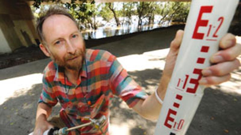
As the Brisbane River broke its banks 100m from the QUT Gardens Point campus in the devastating floods of January this year, Professor Brown and a team of researchers braved the waters in order to collect the unique data.
Measurements were taken on January 12 and 13 with a sensitive recording device, the Acoustic Doppler Velocimeter (ADV). The instrument measures soundwaves of three velocities simultaneously and was installed in a car park at the university's CBD riverside campus.
"Floods are very unpredictable and people are rarely able to take measurements of things like velocity, sediment concentration and water heights while the flood is happening," Professor Brown said.
"Our knowledge on exactly what happens during a flood event is fairly limited, so this data is important for a wide range of people - police officers and disaster management planners, engineers and urban designers."
The "surprising" data was recently compiled into a report titled: Turbulent Velocity and Suspended Sediment Concentration Measurements in an Urban Environment of the Brisbane River Flood Plain, which was this week submitted to the Queensland Floods Commission.
"We found there were very large fluctuations in the velocity of the water," Professor Brown said.
"One moment it could be measuring close to zero where an average person could stand up, yet within one minute it could increase up to 1.8 metres per second. That surge is so swift and strong that it would knock a person over.
"Added to this finding is the fact that the strength of surging floodwaters in buildings is exacerbated by smooth floors which offer no resistance or interruption to the flow."
The level of floodwaters also varied in conjunction with the velocity, sometimes going up and down by as much as 100mm.
The report also revealed that low frequency fluctuations were linked with local topographical effects including local choke induced by upstairs stairwells, which caused slow oscillations.
Unique data from the distribution of sediment also surprised the researchers. While it was expected that coarse particles would be left behind as the rush of the floodwaters slowed, Professor Brown's team found that in fact, the sediment distribution remained constant.
"Sediment is a major problem during flood events. There are issues ranging from inland erosion to damage caused by debris and the impact seen downstream, such as what we saw in Moreton Bay," he said.
"This data will also be useful for architects and urban planners in flood prone areas. There will be new buildings designed for places like Brisbane that are prone to flooding and this data will help with safety management.
"During the Brisbane floods, there were many large hazards that were carried away by flood waters, including large logs. When they crash into buildings at that velocity it's going to cause damage, so it's important to plan for that."
The research was a collaborative effort between Professor Brown and fellow researchers Dr Jai Madhani and Dave McIntosh from QUT and Professor Hubert Chanson from University of Queensland.
"I was very lucky to have had so many colleagues who realised the unique situation we were in," he said.
"They were many people, researchers and volunteers, who went above and beyond the call of duty."
Main findings
- Water elevations and velocities fluctuated at the study location with a distinctive period between 50-80s. Such fluctuations will be location dependant and are very significant for swift water rescue and safe working in floodwaters.
- The suspended sediment concentration (SSC) data presented a general trend with increasing SSC for decreasing water depth.
- During the recession of the flood some long-period oscillations were observed with a period of about 18 minutes. Such long-period oscillations represent exceptional behaviour of the flood waters that cannot be predicted and may lead to very unexpected behaviour of the flow and sediment concentration.
- It is suggested that the flow in the car park was disconnected from the main channel. Practically this means that floodwaters in close proximity can have very different behaviours leading to potential confusion and hazard to rescue personnel and others who must traverse such flows.
- The specific momentum of the flow would be near the upper end of the scale for safe evacuation of individuals in flooded areas. But the authors do not believe the evacuation of individuals in Gardens Point Road would have been safe because of the intense water surges. More generally any criterion for safe evacuation solely based upon the flow velocity, water depth or specific momentum cannot account for the hazards caused by the turbulent velocity and water depth fluctuations.
*Professor Richard Brown is available for comment today (THURS) from 10.30am-2pm.
**High-res image available for media use.
Media contact:
Alita Pashley, QUT media officer, 07 3138 1841 or alita.pashley@qut.edu.au


