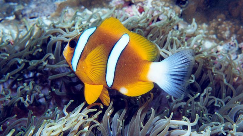
People can 'dry dive' into the Great Barrier Reef to help a QUT project that's developing unique ways to measure the aesthetic value of the world heritage site.
Researchers at QUT are using virtual reality headsets to immerse marine scientists, scuba divers, citizens into the underwater digital reef (360-degree surround image) to help understand what makes the reef beautiful.
The project, titled “Monitoring through many eyes” is aimed at the development of integrated citizen-science software for people to engage and provide valuable information about the marine ecosystem.
View what it looks like through the virtual reality headsets
"People virtually visit the Great Barrier Reef and are asked about water clarity, the structure of the coral, coral damage, fish and other organisms they can see,” QUT Project Leader and spatial scientist Dr Erin Peterson said.
“It’s not widely known but Australia is required to report to UNESCO regarding reef aesthetics.”
The reef aesthetics experiment is being run by a team from the Australian Research Council Centre of Excellence for Mathematical and Statistical Frontiers including marine expert and QUT researcher Dr Julie Vercelloni.
The team gathered information from experts at the Australian Institute of Marine Science and the Great Barrier Reef Marine Park Authority during a visit to Townsville and from citizen scientists at the recent reef blitz event held on Moreton Bay.
It is part of a larger project to build an interactive digital reef that integrates multiple types of data collected by professional monitoring programs, research institutes and private companies that makes use of all the available information.
Researchers say the sheer size of the marine park, which stretches 344000 square kilometres off Australia’s eastern coastline, makes traditional methods of collecting real-time data and conservation difficult.
They’re working toward building software that allows crowd-sourced 2-D and 360-degree imagery taken by recreational and professional divers to be uploaded and geo-located within the map of the digital reef.
“Thousands of underwater images are taken by divers each year and we can use this to contribute to data collection,” Dr Vercelloni said.
“The additional information, combined with a dynamic, spatially continuous map about the reef’s condition provides a quantum leap in the way we monitor.
“As a result, authorities could be quicker to respond to disturbances in the reef, or focus scarce professional monitoring resources to areas that are rarely visited by recreational divers.”
The project is funded by the CRC for Spatial Information and the Queensland Government as well as the support of the Australian Research Council Centre of Excellence for Mathematical and Statistical Frontiers.
MEDIA CONTACT: Debra Nowland, QUT Media Officer, 07 3138 1150 or media@qut.edu.au and after hours Rose Trapnell


